What Is A Watershed?
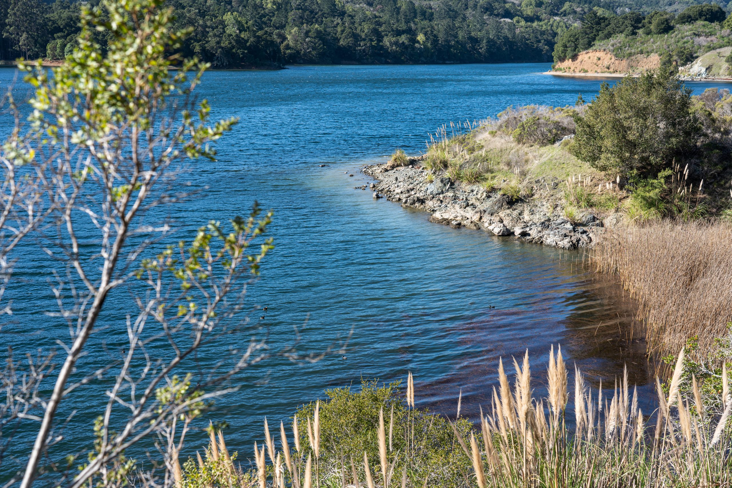
A watershed is the land that water flows over or through on its way to a creek, delta, bay, or ocean. Everyone lives in a watershed, and everything that happens in the watershed affects water quality and habitat quality for fish, birds, and other living things.
Want a more in-depth guide to watersheds? Click here to be redirected to Maven’s Notebook and read an overview of watersheds, the components of a watershed, water budgets, how to estimate runoff, protecting water quality, and watershed management. This post is based in part on a lecture given by Dr. Helen Dahlke at UC Davis as part of the UC Davis Shortcourse on Groundwater and supplemented with additional research.
Why Protect Our Watershed?
Pollution in distant parts of a watershed can be washed into storm drains and cause problems downstream. Human activities can harm or improve the condition of a watershed, including its water quality, fish and wildlife, forests and other vegetation, and the quality of life for people who live in the area. Most of the stormwater runoff in San Mateo County eventually drains into the San Francisco Bay or the Pacific Ocean, so a big focus of Flows To Bay is raising awareness and improving our understanding about the condition of our watersheds and taking action to improve conditions where aquatic resources are impacted negatively and where there is the potential for the most benefit. There are 34 watersheds in San Mateo County—search for yours in the map below.
San Mateo County Watershed Map
Additional Watershed Information
Organization-Run Cleanups:
- Pacific Beach Coalition
- SeaHugger
- Surfrider Foundation – San Mateo County Chapter
- Tunitas Love and Care (TLClocals)
Surf Your Watershed – U.S. EPA information for San Mateo County watersheds including: citizen-based groups at work in these watersheds, water quality monitoring data, assessments of watershed health, and United States Geological Survey (USGS) information.
Citizen Watershed Monitoring Network – On the first weekend in May, volunteers from San Mateo County to San Luis Obispo County participate in the Annual Snapshot Day Event.
The San Francisco Bay Area EcoAtlas provides public access to a large collection of objective scientific data and information about the San Francisco Estuary and its watersheds.